


_INV.png)


.png)

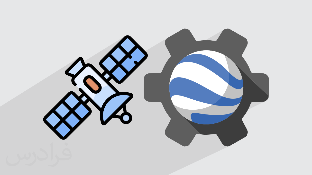
Introduction to Remote Sensing using Google Earth Engine
Instructors
About This Course
Before learning how to process remote sensing images in the google earth engine, there is the need to first understand the fundamentals of Remote Sensing.
This course is therefore going to introduce you to the fundamentals of remote sensing and its application areas.
In this course, you will be introduced entirely to the Google Earth Engine JavaScript an open-source cloud platform.
Additionally, I will walk you through how to process and analyze Earth observation and geospatial data with GEE. All sample data and script will be provided to you throughout the course.
The course structure is made to suit both the beginner (First-time Remote Sensing learners) and those who have little training but due to lack of practice have lost the skill.
At the end of this course, you would be familiar with the term remote sensing as well as the science behind it.
You will also be able to distinguish between different types of datasets and understand the datasets
You can perform geospatial analysis using cloud computing (google earth engine).
You will be able to visualize and analyze geographic data on the cloud.
At the end of this course, you will be able to write JavaScript programming language to process big Earth observation data.
Elisha Njomaba
Premium Plan
Pay 70% upfront and 30% after 30 days, with full course access and priority tutor support.
Classic Plan
Pay 50% upfront and 50% after 21 days, with full course access and standard support.
Curriculum Overview
This course includes 2 modules, 18 lessons, and 0 hours of materials.
In this video, you are going to learn the fundamentals of remote sensing, focusing on definition of terminologies associated with remote sensing and its operation as well as exploring the areas remote sensing can be applied.
In this section, you will be introduced to the Electromagnetic spectrum and how it is related to the remote sensing process.
This session explains the different sensors and platform systems available and their satellite orbital systems.
This session explores the sentinel-2 spectral bands and their usefulness for different application area.
The different types of image resolutions and their impact on image interpretation and analysis are dealt with.
The platforms to access different types of remote sensing satellite datasets are covered in this session..
The acquisition of remote sensing satellite data is very necessary as far as remote sensing analysis and interpretation is concerned. This session focuses on how to download remote sensing satellite dataset.
There different image interpretation techniques are dealt with in this session.
In this session we talk about the history and motivation behind the google earth engine platform and its intended purpose.
I will take you through the step-by-step processes of signing up to google earth engine.
The interface on the google earth engine is being explored for familiarization.
The basics of Javascript for earth engine is introduced here focusing on the algorithm as applied in earth engine.
This session demonstrates how satellite images are represented in google earth engine. ie, ImageCollection, their filtering, and visualization.
We continue to explore ImageCollections, basically focusing on the creation of image mosaics and composites.
A demonstration of how to crop an image in google earth engine is given.
A step-by-step approach of how to perform spectral indices such as NDVI (Normalized Difference Vegetation Index) is demonstrated in this session.
We showcase how dataset can be imported into google earth engine for further analysis.
We showcase how dataset can be exported from google earth engine for further analysis.
Course Certificate

Course Specifications


Send Course as Gift


Subscribe to Our Newsletter


Additional Links
Login Register Contact Certificate Validation Become Instructor About Terms and PoliciesContact US


Isaac Fiagbe