


_INV.png)


.png)


GIS for Web System Development
Instructors
About This Course
This is a specialized course for students to learn how to create GIS data for the development of GIS web platforms and applications.
In this course, you will learn how to create and edit data using QGIS. Students will also learn how to collect data using online tools such as Qfields and Esri Web Maps.
The course will also focus on developing web applications using online APIs and other resources.
Requirements

Curriculum Overview
This course includes 3 modules, 24 lessons, and 0 hours of materials.
Get Access to open source GIS for your projects
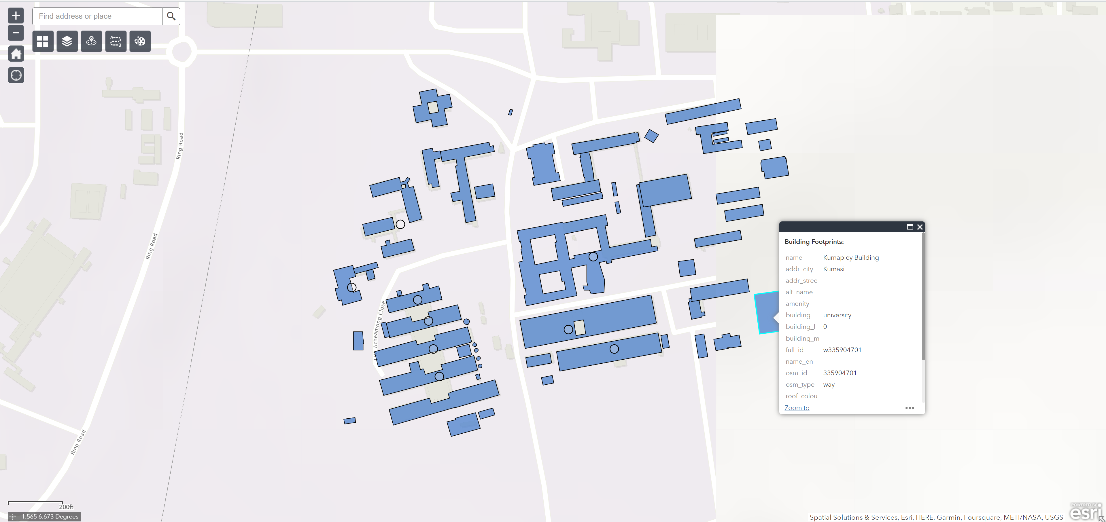
This session introduces students to the process of installing the Quick Map Service (QMS) in QGIS. This plugin provides access to satellite images from multiple sources such s google, bing, esri, osm, etc.
Learn how to download and install the Quick OSM plugin in QGIS. The Quick OSM plugin allows users to access and download data from Open Street Maps directly in QGIS for projects.
Learn how to download data using the downloaded plugins (QMS and Quick OSM) for your personal projects
Quiz on Basic Programming
Quiz on Basic Programming
Basic HTML Quiz
Basic HTML Quiz
Basic HTML Quiz
Basic HTML Quiz
Basic HTML Quiz
Basic HTML Quiz
Basic HTML Quiz
Basic HTML Quiz
Basic HTML Quiz
Basic HTML Quiz
Basic HTML Quiz
Basic HTML Quiz
Basic HTML Quiz
Vizzy Sintra
Adam Kasim Karimode
Course Specifications


Send Course as Gift


Subscribe to Our Newsletter


Contact Us


Adam Kasim Karimode